When the BBC launched its “new brand” BBC Verify in May 2023, the CEO of BBC News Deborah Turness told the corporation’s funding public and others that: [emphasis added]
“They’ll be fact-checking, verifying video, countering disinformation, analysing data and – crucially – explaining complex stories in the pursuit of truth.”
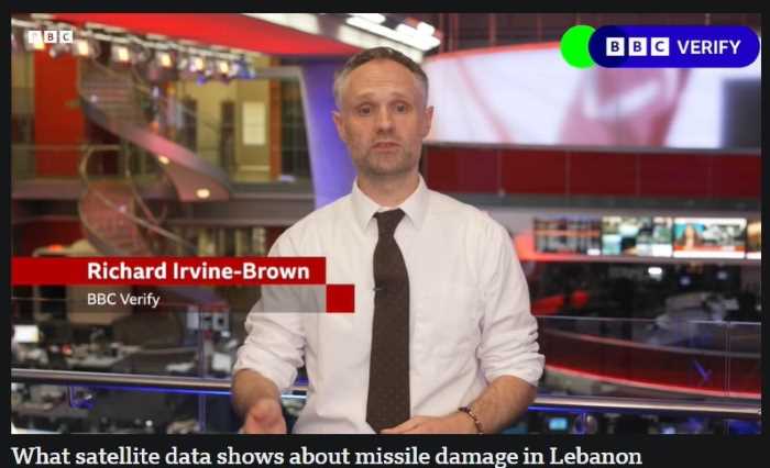
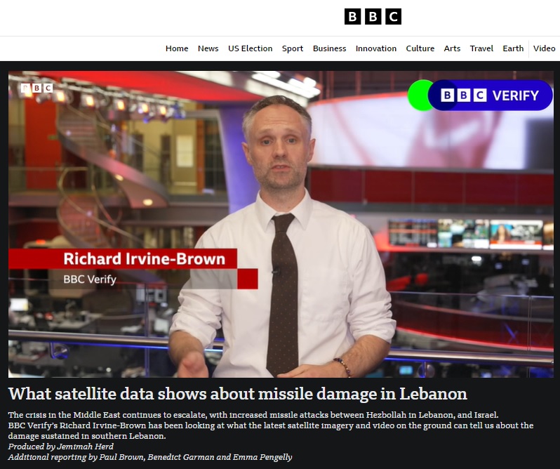
That latter part of that job description was notably absent from a filmed report put out on the BBC News website by BBC Verify on September 27th under the title “What satellite data shows about missile damage in Lebanon”.
As can be seen in its synopsis, no fewer than five members of BBC staff were involved in the production of that report.
Nevertheless, viewers were given a decidedly blinkered view of its supposed subject matter.
Richard Irvine-Brown began by promoting the notion of equivalence between Israel and the terrorist organisation which chose to launch an entirely unprovoked attack on that country on October 8th 2023 and failing to clarify that while Israel’s strikes target terrorists and their infrastructure, Hizballah’s attacks often target civilian communities, even when claimed otherwise. [emphasis in italics in the original, emphasis in bold added]
Irvine-Brown: “Hizballah and Israel have been trading near-daily cross-border fire for almost a year. The intensity of strikes appears to be rising, with a lot of damage in southern Lebanon.”
Failing to clarify that four days before the appearance of the BBC Verify report, Israel had launched Operation Northern Arrows in order to neutralise the terrorist organisation’s missile stocks, ammunition depots, missile launchers and operatives, he continued:
Irvine-Brown: “We at BBC Verify have been putting together the geographical data – satellite imagery and video on the ground – to see what it can tell us.”
With a map of Lebanon with red dots appearing on screen, he went on:
Irvine-Brown: “This is fire data compiled by OroraTech. They use satellites which have special infra-red sensors that help detect wildfires. They’ve applied that same data in Lebanon from the 23rd of September and it indicates possible damage caused by strikes.”
He then admitted that in fact he and his team actually have no idea whether or not the fires appearing in those satellite images were in fact “caused by strikes” or something else.
Irvine-Brown: “Now it’s important to know: we haven’t independently verified that strikes took place at all of these locations but we used this data as a guide to where to look when we’re analysing satellite imagery.”
With an image dated September 12th on screen, he continues:
Irvine-Brown: “This imagery was taken before the bombing ramped up in Doueir, which is a small town of about 7,500 people. And this [dated September 24th] is the latest satellite imagery that we have, showing dark grey burn marks around the west and south. So what does this look like to people on the ground in Lebanon? Well, we verified this brief clip which shows an explosion and multiple plumes of smoke on the southern side of Doueir. The earliest version of this video that we can find online is from the 23rd of September.”
Indeed that video has been geolocated to Doueir on September 23rd – the day that Israel launched Operation Northern Arrow after issuing advance warning to residents of Lebanon living in the vicinity of Hizballah weapons and missile stores – but Irvine-Brown and his colleagues apparently did not investigate whether or not the explosions shown were caused only by an airstrike or also by secondary explosions, as was the case in many locations on that day. He continued:
Irvine-Brown: “Unfortunately, we don’t always have material from everywhere. Instead we use satellite imagery to help confirm what’s happened. Take a look at this image [dated 12th September] from earlier this month in Aitaroun. It’s close to the Israeli border and about 125 kms from Beirut. Compare this [dated 24th September] which is the latest image we have. It’s where we’ve seen some of the most noticeable damage. In the image you can see the dark patches of burning which the date tells us must have been from the 23rd of September.”
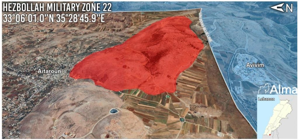
Irvine-Brown refrained from informing BBC audiences that Aitaroun is right next to a Hizballah military zone and includes Hizballah positions and infrastructure.
He closed the report as follows:
Irvine-Brown: “Despite calls for a ceasefire, it looks like the exchanges will continue across the border. We continue to use a combination of these tools to tell you what we can about the damage done.”
As we see, BBC Verify’s interest in “the damage done” is not only limited to one side of the border but also to one possible cause – Israeli airstrikes. Despite plenty of film clips being available online, BBC Verify has absolutely nothing to tell BBC audiences about the damage and deaths caused in Lebanon by exploding Hizballah munitions stored in civilian buildings.
And clearly Irvine-Brown and his team were not in the slightest bit interested in telling their viewers about the root cause of “the damage done” in Lebanon: Hizballah’s concealment of weapons and missiles in civilian areas and its exploitation of residents as human shields.
In other words, BBC Verify chose only to “tell you what we can” about particular parts of the who, what and where of this story – and is even less committed to explaining the why.
Anything and everything done by the IPC (aka BBC) is elaborately designed to ham Israel – it’s as simple as that. !