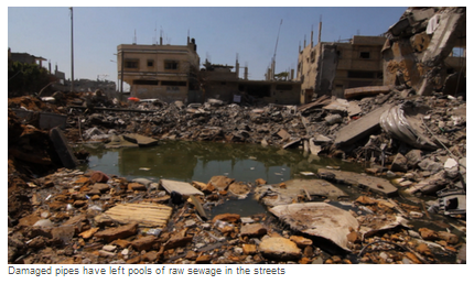
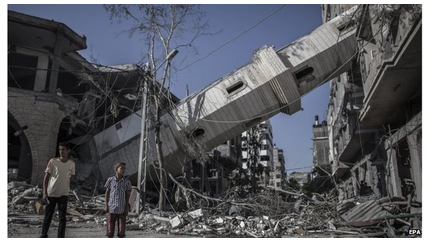
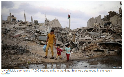
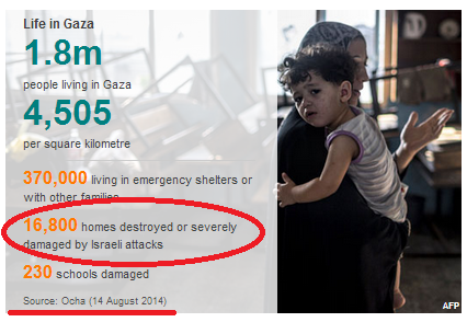
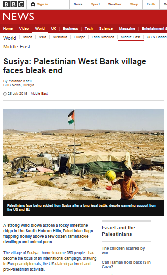
Since the beginning of Operation Protective Edge on July 8th BBC audiences have seen copious amounts of footage and images of damaged and destroyed buildings and infrastructure in the Gaza Strip.
Examples of televised reports include James Reynolds in Shuja’iya on August 6th, Jon Donnison in Beit Hanoun on August 5th, Orla Guerin in Khuza’a on August 11th and Chris Morris in Gaza City on July 29th. Listeners to BBC radio have heard dramatic descriptions such as this one by Kevin Connolly from Juhor-ad-Dik on Radio 4 and visitors to the BBC News website have seen illustrative photographs and graphics such as those below by the dozen and read statements such as:
“Approximately 16,800 housing units in Gaza had been destroyed, Mr Serry added, affecting some 100,000 Palestinians.” (“Gaza ceasefire ‘extended by a day’ after Cairo talks“, 19/8/14)
(source)
(source)
(source)
(source)
(source)
(source)
Absent from these BBC reports and the many others relating to the same topic, however, are two very important aspects of context: where and why.
Most BBC audience members will have no reason to be familiar with the geography of the Gaza Strip. They will therefore be unable to judge to what extent the isolated images they are repeatedly shown by the BBC represent the picture in the whole of the Gaza Strip.
As we see above, the BBC obviously relies on UN OCHA as a source of information on the topic of damaged structures and that organization recently put out a series of maps titled “Gaza Crisis Atlas”. Analysis of those maps published at ‘Israellycool’ – see here and here – shows that the majority of damaged structures are concentrated in specific locations.
“Several patterns are discernible:
The attacks are in no way “random” or “indiscriminate”. One can clearly see the spatial distribution of the damage in several aspects. We find 8,952 of the 12,433 total points (72%) are within a 3 KM buffer abutting the border with Israel. The main objective of Operation Protective Edge was to find and destroy dozens of terror tunnels dug from Gaza into Israel.
That the most intensive damage was caused to the area where the tunnels naturally originated is thus perfectly understandable. Furthermore, of the 4,441 destroyed structures, 3,481 of them (78%) are within the 3 KM buffer, as are 2,531 of 3,303 (77%) of the lowest intensity damage (simple craters), which are mostly strikes on rocket launchers and tunnels.
Most of the attacks are grouped around certain neighborhoods or villages, such as Shuja’iyya, Johur ad-Dik, Sureij, and Khuza’a. These were probably the result of the ground operations that took place in dense urban areas also within the 3 KM buffer that housed multiple tunnel entrances and shafts, as well as launch sites for mortars and rockets.”
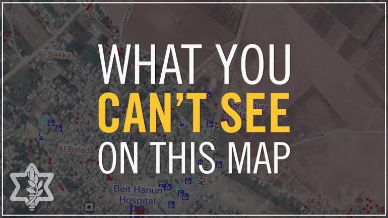
Of course another important type of context lacking from most BBC reports is why certain locations were targeted. Some examples of explanations can be seen in the video below.
So why is it that context which is so vital for BBC audiences’ understanding of what they are being shown by the BBC is subject to serial omission? Well, former AP correspondent Matti Friedman has some important insights to share on the topic of Western media coverage which may provide a clue.
“While global mania about Israeli actions has come to be taken for granted, it is actually the result of decisions made by individual human beings in positions of responsibility—in this case, journalists and editors. The world is not responding to events in this country, but rather to the description of these events by news organizations. […]
Most reporters in Gaza believe their job is to document violence directed by Israel at Palestinian civilians. That is the essence of the Israel story.”
Read the whole article here.

